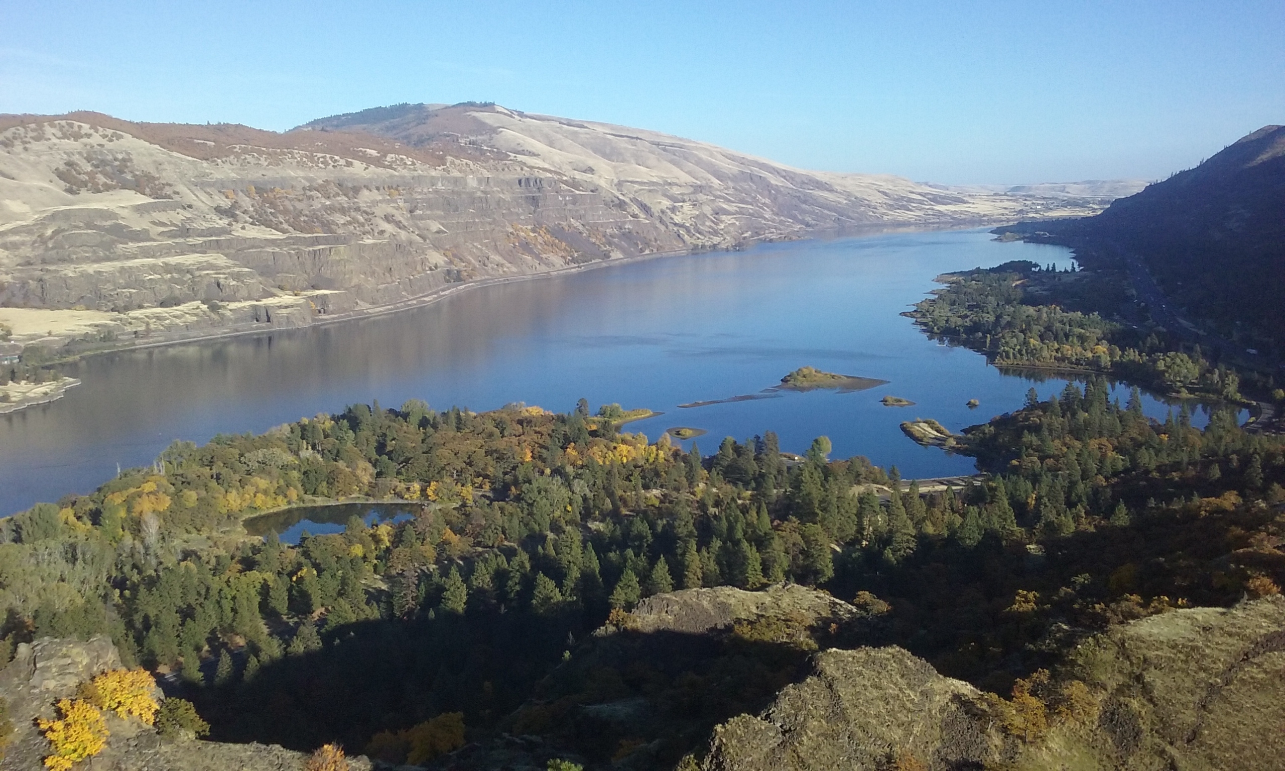
End of October: Nice, But Not “Toasty”

That was an exciting weekend! A very long atmospheric river originating in Japan, set itself up over the Pacific Northwest from the middle of last week through Sunday, with the heaviest action on Saturday. The Dalles got 0.90″ of rain in one day while Bonneville Dam got over 5″ during the weekend! That led to landslides near Washougal, flash flooding in the Eagle Creek burn zone, and one traffic fatality on I-84 near Hood River.
As of Monday, however, that was all a distant memory. After some brief morning fog the Gorge enjoyed all-sunny skies with very light wind today. The high temp at DLS today was 67 degrees F, which is actually only 5 degrees above normal for this date. The next several days will all be similar to today (dry and mild), though a push of west wind Wednesday may actually make it the warmest day of the week. We’re getting into “that” season in the Gorge now…
Come to think of it…when was the last time we had a bunch of 75-ish days in the last 7 to 10 days of October? We haven’t seen a pre-Halloween warm spell like that since 2003, and even that one only lasted two days. Even though our average high temp is still as warm as about April 1, we seem to have a much easier time reaching the 75-80 range in early spring, than we do during the “thermally equivalent” period in fall, which is right now. In fact, late October is the time of year when there is the least variability in our high temps from one year to the next. Anything warmer than 72 or colder than 48, is pretty rare.
But why? Stay tuned for the answers in an upcoming, extensive blog…