The February To Remember

Hello again! As you probably know, I don’t live in The Dalles anymore, but here’s one more Gorge-related post before I switch over to a new East Metro Blog.
Whew..what a February! After nothing but boring and mild for the first two winter months, we’re sure ending strong. The running temps at DLS in Dallesport are 9.3 degrees F below normal for the first 20 days of the month. At PDX the cold anomaly is 5.5 degrees, making it the coldest February since 1989.
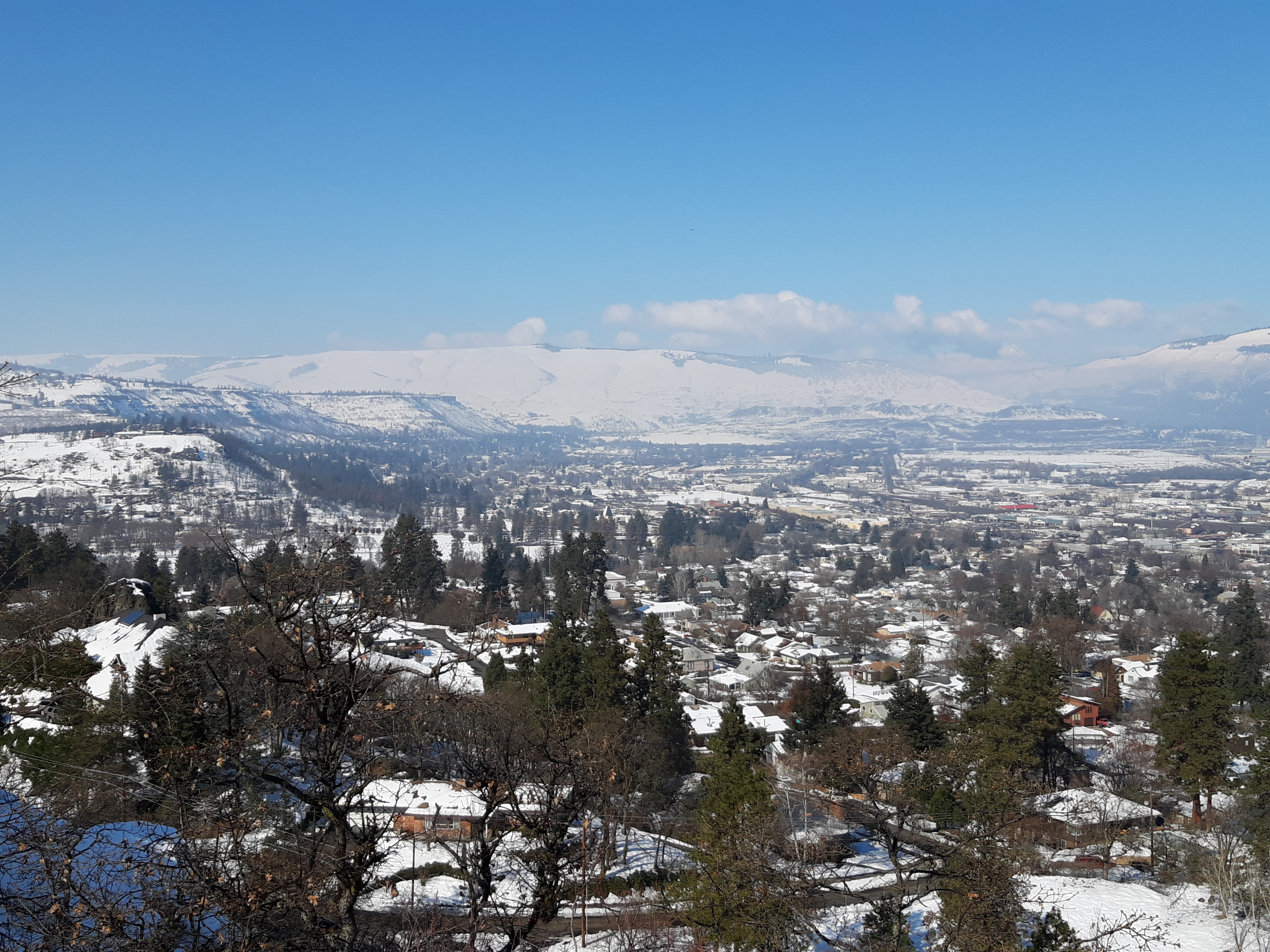
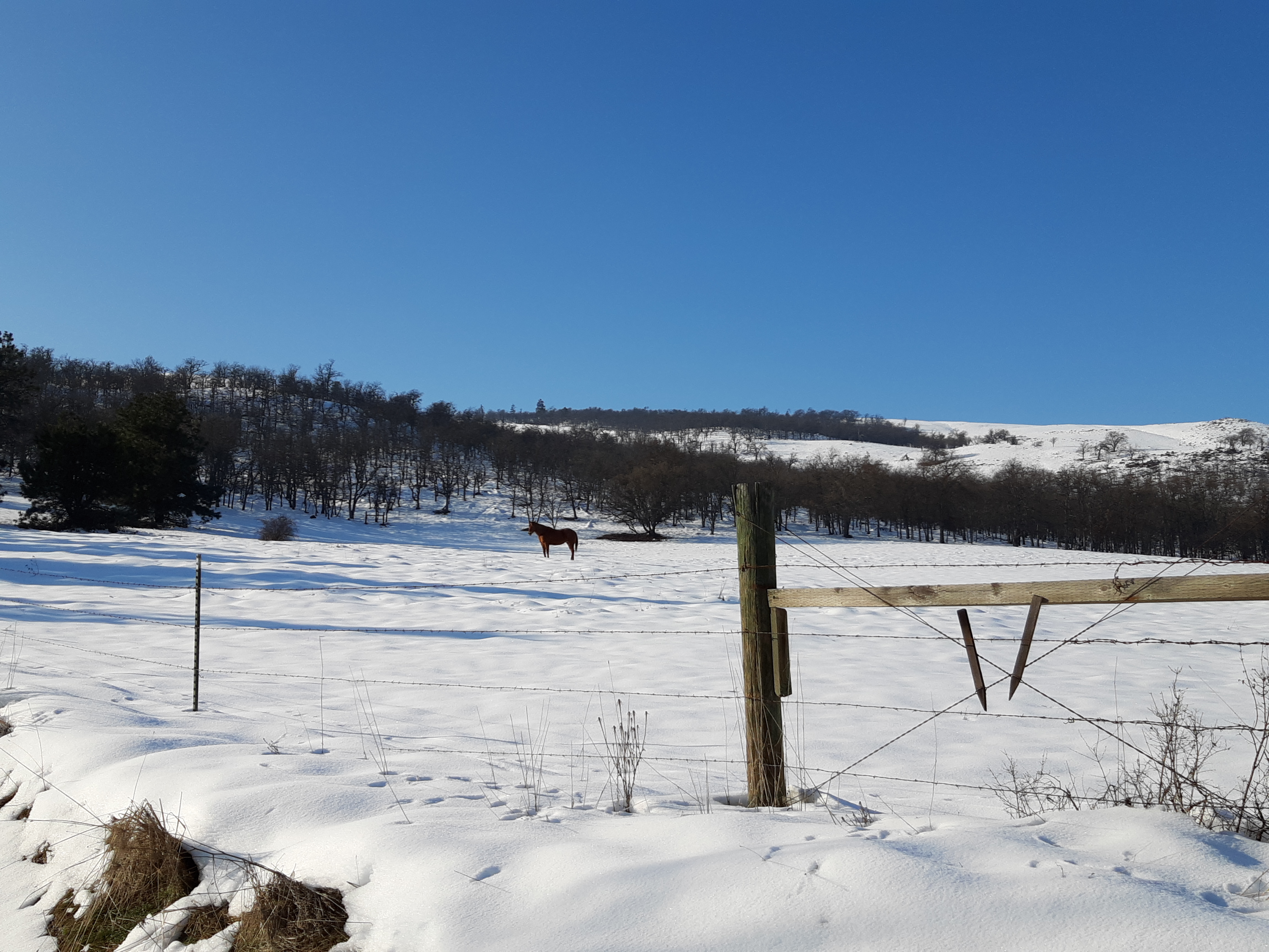
While NE Portland got about 6″ total snow out of this chilly pattern, the Gorge saw 2-3 feet. As of February 21 everything in The Dalles is still white, save a few spots with maximum sun exposure. This is actually snowier than the same date during the 2016-17 winter.

Of course, with sun angle the same as October 20, it made for a rather ‘blinding’ experience – sunglasses highly valuable! Temps under the powerful sun were in the upper 30s.
We have ONE more interesting winter scenario to get through before spring tries to make a run for us. Next Sunday-Tuesday, another chunk of cold arctic air tries to swing south over the Pacific Northwest. BUT at the same time, a mild jet from the central Pacific is also aiming toward us. This pattern usually spells trouble in the wintertime. On the same token, with as much solar energy as mid-October, it’s very tough for Portland to stay below freezing all day long.
If the storm early next week moves north, Portland gets rain and only the Gorge (and perhaps Seattle) get snow.
If the storm track is further south, then Roseburg/Medford get snow while The Dalles and Portland stay dry and cold, about 12-20 degrees below late February norms.
If the storm takes a middle track, both the Gorge and Portland get slammed with snow. Timing is crucial this late in the season for sticking in Portland; you want moisture in the overnight/morning as opposed to midday/afternoon.
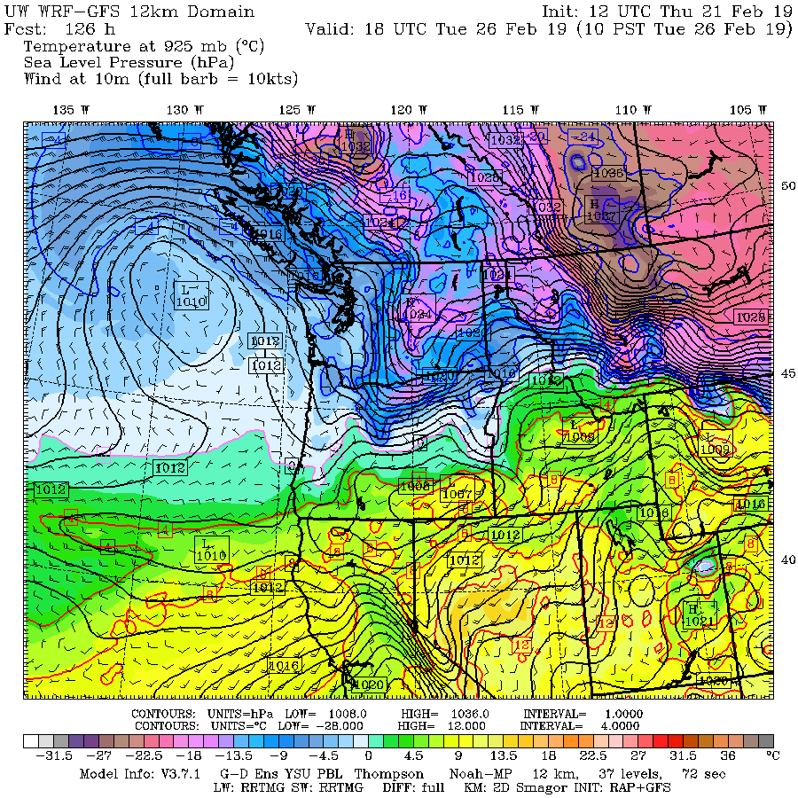
Here is this morning’s WRF-GFS for Tuesday morning:
Cold east wind and moisture coming from the southwest…oh my! Could we possibly get a historically late ice storm before it’s all over?
One thing is pretty certain: by next Thursday it will be over…as we move into our first mild weather of Spring 2019.
Have fun!