Unusual March Cold Snap in Gorge and Columbia Basin
Wow….and we thought February was cold.
The past two nights east of the Cascades, and in the Columbia Gorge, have set all-time records for March cold. Yesterday’s morning low at DLS was 8 F, the coldest March night in the airport’s 70-year history. This morning was 6 degrees, which will destroy the old record of 14F from 1955.
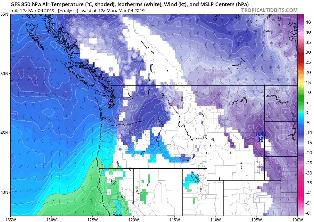
Airmass temps over The Dalles bottomed out between -14 and -15 degrees C, on Sunday into Sunday night:

That would be a significant cold spell even in January, with surface temps below freezing for several days on end even if snow cover was limited. But in early March it’s extremely tough to get this kind of arctic air into the Columbia Basin. It takes a REALLY big and cold blast across the country (which is just what we got this year) to drive the bitter air down.
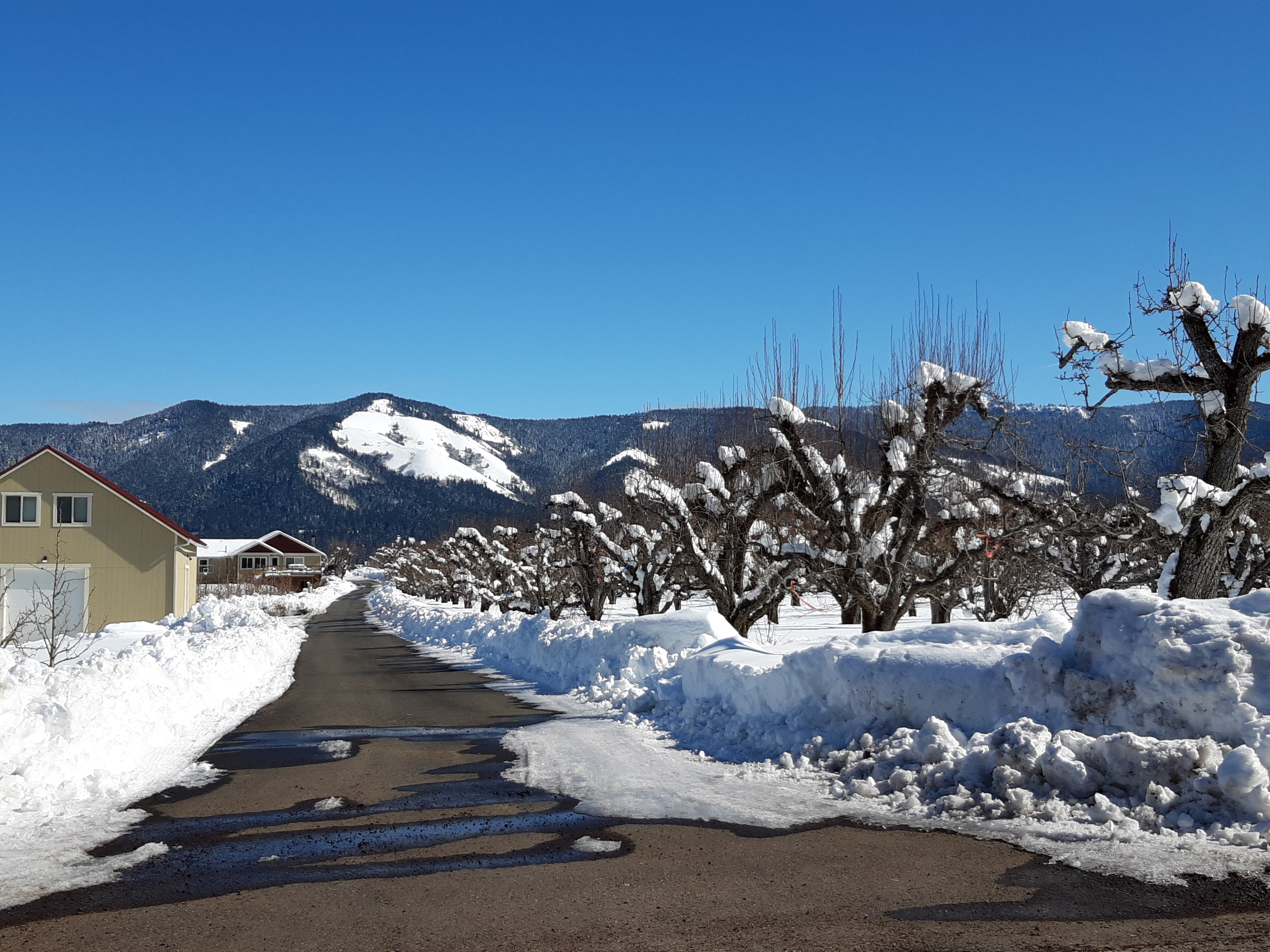
This year we were also helped by the rare snow cover east of the Cascades; that kept the lower airmass colder than it otherwise would have been .


Tomorrow Wednesday it appears there is one last chance at lowland snow for both the Gorge and northwest Oregon. The dry east wind over Portland will serve to cool any moisture coming up from a storm to our south. In March it’s very hard for snow to stick in Portland during the daytime. So early morning or evening might be the best chance for a quick dusting there.
One thought on “Unusual March Cold Snap in Gorge and Columbia Basin”
Hello Dear
i saw your profile and became interested in you, my name is Marie Cooper i am working with united State Army, i will like to have a friend like you,
i have something to share with you, please email me through
(coopermarie442@gmail.com) for more information about me, i will check my mail to know if you have contacted me because i am working at the moment.