
Unusual Mid-March Cold Snap This Weekend!
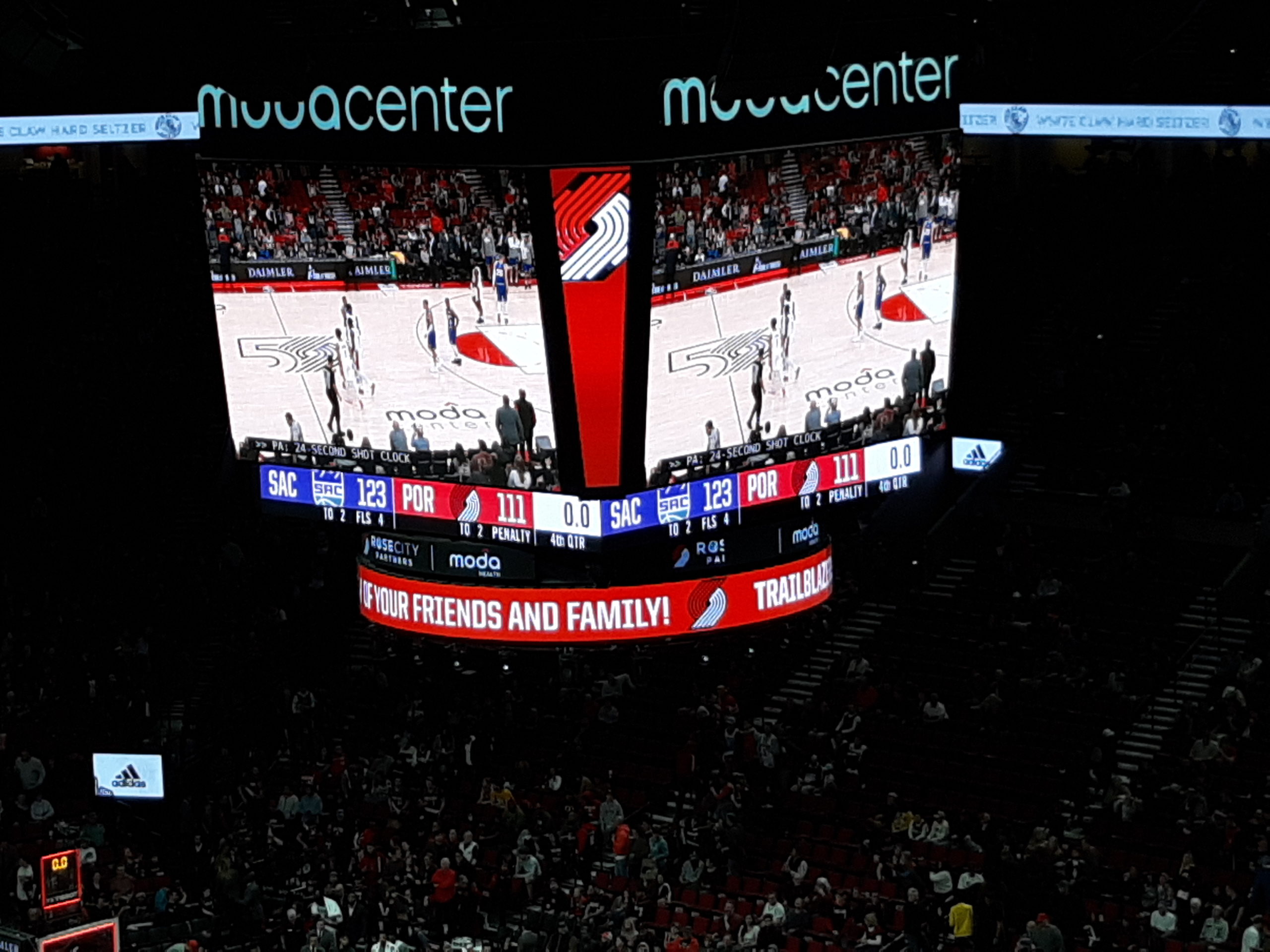
Hi everyone! It’s been a fun early March for me. During a short vacation from work, I got to go to a Blazers basketball game last Saturday, against the Sacramento Kings. It wasn’t a very good game overall; the defense sucked and Damian Lillard wasn’t having a good night at all. But the experience was still fun.
Also on Monday night, I got to enjoy some dancing at the Madhouse PDX show downtown. Not everyone understands house music; it really is a spiritual thing, a body thing and a soul thing. If I wasn’t busy practicing French horn and saxophone every day, I’d probably be learning how to DJ instead!
Now on to weather. On Sunday March 8, I took a family and friend visit in both The Dalles and White Salmon. Interestingly, I noticed that early flowers like daffodil and magnolia were nearly as open and blooming as they are in Portland. Normally the Gorge is about 1-2 weeks behind Portland due to cooler average temps in February. But this year, February was 43.1 degrees at DLS and 43.9 at PDX; hence the similar phenological bloom dates.


I’m going to be back in the Gorge this Sunday for a Spring Equinox grove in White Salmon. Should be lots of fun…especially given the interesting weather we’re expected to have this weekend.
You’ve probably noticed that Portland has been quite dry and sunny since mid-February. That’s not going to change much; apart from some cold rain this Friday-Saturday we should pop right back to dry conditions for next week. But there is going to be a twist to the weather; something we rarely see at this time of year.
After two more mild and spring-like days today and tomorrow, a very chilly upper-level trough drops into the Pacific Northwest beginning Friday. This is NOT your typical cool March trough, with lots of onshore flow and chilly rain showers (and snow above 1,500 feet). Instead, the upper-level pattern looks almost exactly like a midwinter arctic blast, with cold Canadian air slipping south into the Columbia Basin beginning on Saturday. ALL models agree on a generally cold/dry solution coming up, though they disagree on just how cold we get. A cool low pressure system moves in during the day Friday, then the cold northeasterly flow behind the low on Saturday-Sunday. Here are three model maps for Saturday afternoon & Sunday morning (all credit of TropicalTidbits.com):


It is EXTREMELY unusual to see any kind of modified arctic air in the Columbia Basin after the first few days of March; I’m not sure if it’s ever happened in modern-day history (i.e. post-WW2). And while we sometimes get gusty east wind through the Gorge in March, it’s rare for that wind to be accompanied by temps significantly below seasonal norms. Yet that is exactly what we are looking at, this Saturday and Sunday.
What about moisture? Most of the available moisture will be here on Friday and early Saturday. Quite often in this pattern, showers die out over Portland before the really cold east wind arrives. However, the GFS model is being extremely bullish on cold wind arriving before precip ends. If the GFS is correct, then we have a historic mid-March snowfall on the way for the Portland metro area.


Granted, most weather nerds and meteorologists have some well-earned skepticism of the GFS model in these kind of patterns. Just two days ago the GFS was calling for 850mb airmass temps of nearly -20 degrees Celsius over The Dalles! That would be a major arctic blast even in midwinter, with Gorge high temps only 15-25 degrees with lows likely in the single digits. But now the GFS model is having a reality check. Last night’s 00z model showed 850 temps of -12 to -15 for Sunday morning. Still very unusual for this time of year, but more believable than -20:

The upper-level ensemble maps show solid agreement on the general cold pattern. Notice the strong ridge over southern Alaska and the West Coast cold anomalies. This is THE signature pattern of an arctic outbreak in the Western U.S.:

====
THE BOTTOM LINE:
- We have a chilly and moderately wet disturbance coming in this Friday-Saturday. Snow levels will be quite low, with a decent chance of at least seeing a few soggy flakes in the Portland metro area at some point late Friday night or Saturday.
- We don’t know if there will be any sticking snow in Portland or the western lowlands. That depends on the east wind arriving before precip stops Saturday. If it does, then we have a rare March snow event on the way. As of now, I’m a little bit skeptical.
- Cold east wind arrives some time Saturday, rages throughout the day Sunday, then eases off on Monday. This is unusual in mid-March no matter how you look at it.
- Temperatures Saturday and Sunday will most likely be in the low-mid 40s in the Portland area, and slightly colder in the Gorge. Unless, of course, Saturday ends up windier and snowier than I’m thinking; then we could conceivably stay in the 30s for one day.
- Sunday we dry out again, but it will be the chilly kind of dry. Expect temperatures to gradually moderate back into the low-mid 50s in Portland early next week. The Gorge and east side will be remain on the brisk side though; with several subfreezing nights likely during the first half of next week. Daytime temps will be on the chilly side of normal, but the strong March sun will moderate the chill somewhat for a few hours each day before it comes back with a vengeance in the evening.
- If you have a garden with early flowers in either Portland or the Gorge regions, there could be significant freeze damage. Plan on temps at least dropping to 27-30 degrees in the city, and likely several degrees colder in outlying west side locations as well as Hood River and The Dalles.
====
That’s about it for now. I will be posting updates this weekend as the cold snap unfolds; follow my Facebook page for further details. -Karl